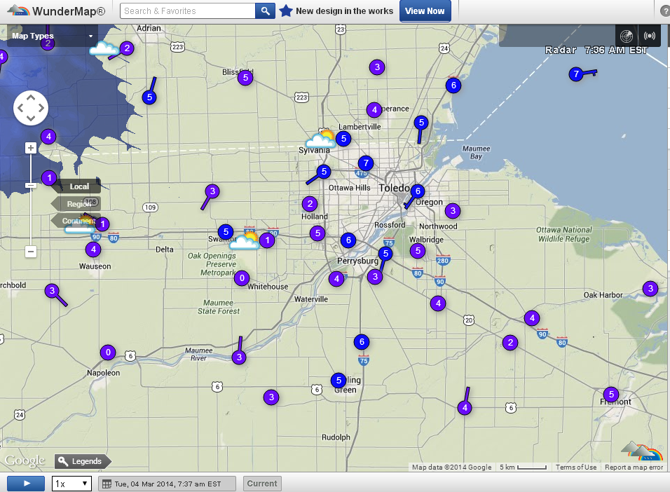
Toledo Weather - Mar 4, 2014
Toledo 7-day forecast
Last Update: Mar 4, 2014 6:15 am
Today: A slight chance of light snow between 4pm and 5pm. Mostly cloudy, with a high near 20. Wind chill values as low as zero. Calm wind becoming south around 5 mph. Chance of precipitation is 20%.
Tonight: A chance of light snow, mainly after 4am. Mostly cloudy, with a low around 10. Calm wind. Chance of precipitation is 30%. Little or no snow accumulation expected.
Wednesday: A chance of snow showers. Mostly cloudy, with a high near 24. Northeast wind 3 to 8 mph. Chance of precipitation is 40%. New snow accumulation of less than one inch possible.
Wednesday Night: A slight chance of snow showers. Mostly cloudy, with a low around 11. Wind chill values as low as -2. Northeast wind around 9 mph. Chance of precipitation is 20%.
Thursday: Partly sunny, with a high near 28. East wind around 9 mph.
Thursday Night: Partly cloudy, with a low around 13.
Friday: Partly sunny, with a high near 36.
Friday Night: A chance of snow. Mostly cloudy, with a low around 25. Chance of precipitation is 30%.
Saturday: A chance of snow. Cloudy, with a high near 33. Chance of precipitation is 40%.
Saturday Night: Mostly cloudy, with a low around 15.
Sunday: Mostly sunny, with a high near 31.
Sunday Night: Partly cloudy, with a low around 22.
Monday: Mostly sunny, with a high near 41.
fxus61 kcle 041146
afdcle
area forecast discussion
national weather service cleveland oh
646 am est tue mar 4 2014
synopsis...
high pressure over the area will weaken through tuesday. a cold
front will drop south across the area late tuesday then high
pressure will move east across the northern lakes into maine by
thursday. another cold front will move across the area friday
night and stall to allow a low to move along the front from
tennessee to the mid atlantic coast by sunday.
&&
near term /through tonight/...
high pressure over the area weakens some today. shortwave energy
will move across the central lakes and while precipitation will
primarily stay out of our area...this feature does bring with it
mid/high clouds. included a slight chance of light snow across the
extreme north...likely just a flurry at best. after a cold start
highs will recover to near 20...which is still 20 degrees below
normal.
&&
short term /wednesday through friday night/...
a stronger shortwave will brush the great lakes tonight and push a
weak surface cold front south into the area late tuesday night.
better moisture and upper support stay north and east of the area
and have continued just the slight chance precip. somewhat better
moisture wednesday with a little lift lingering...and therefore
pops a category higher. high pressure and drier air then settle
south for thursday. temperatures still remain well below normal
for tonight through thursday. precipitation when it occurs will be
light.
finally get some return flow for friday and moderating
temperatures. finally able to forecast daytime temperatures near
normal. precip free until friday night when a cold front crosses
the area. temperatures initially could be borderline for snow.
&&
long term /saturday through monday/...
some over running precip still shows up saturday into saturday night
but none of the models indicate a significant wave developing on the
front as was hinted at a few days ago. will keep a chance of light
snow in the forecast saturday/saturday night. some rain also
possible if the precip develops quickly enough on saturday before
the colder air gets deep enough. sunday should be dry with temps
somewhat below normal but not brutally cold.
the next cold front is progged to slide across the northern great
lakes on monday. we should find our way into the mild pacific
southwest flow ahead of the front. will forecast temperatures
near/slightly above normal next monday. the front appears as if it
will sag across the area monday night or early next tuesday.
&&
aviation /12z tuesday through saturday/...
a weak trough of low pressure will cross the lower great lakes
this afternoon. most areas will see an increase in clouds but
ceilings will remain vfr. a brief snow showers is possible near
lake erie and north. will only mention the snow in the keri taft
forecast this afternoon. mid/high clouds and vfr conditions will
persist tonight.
outlook...non vfr late wednesday into thursday.
&&
marine...
relatively weak weather systems will cross the lower great lakes
this week. a reinforcing push of colder air and a north flow is
expected late today/tonight through mid week. the flow will come
back around from the south and southwest by friday ahead of the next
front. the next front is expected to sag south across the lake
friday night and the flow will veer from the north again by the
weekend.
&&
cle watches/warnings/advisories...
oh...none.
pa...none.
marine...none.
&&
$$
synopsis...oudeman
near term...oudeman
short term...oudeman
long term...kosarik
aviation...kosarik
marine...kosarik
fzus51 kcle 040905
nshcle
nearshore marine forecast
national weather service cleveland oh
405 am est tue mar 4 2014
for waters within five nautical miles of shore on lake erie
lez142>149-041515-
maumee bay to reno beach oh-reno beach to the islands oh-
the islands to vermilion oh-vermilion to avon point oh-
avon point to willowick oh-willowick to geneva-on-the lake oh-geneva-
on-the-lake to conneaut oh-conneaut oh to ripley ny-
405 am est tue mar 4 2014
today...south winds less than 10 knots becoming mostly onshore.
mostly cloudy. a slight chance of light snow this afternoon.
tonight...north winds less than 10 knots. mostly cloudy.
wednesday...northeast winds 10 knots or less increasing to 10 to
15 knots. mostly cloudy with a chance of snow showers.
wednesday night...northeast winds 5 to 15 knots becoming east.
cloudy in the evening...then becoming partly cloudy.
waves omitted due to the nearshore waters being mostly ice covered.
see lake erie open lakes forecast for thursday through saturday.
the water temperature off toledo is 32 degrees...off cleveland 33 degrees
and off erie 33 degrees.

Forecast.io Toledo hi-lo temp predictions:
- today, Tue, Mar 4 : 22 and -1
- Wed, Mar 5 : 22 and 11
- Thu, Mar 6 : 26 and 12
- Fri, Mar 7 : 38 and 21
- Sat, Mar 8 : 35 and 31
- Sun, Mar 9 : 32 and 20
- Mon, Mar 10 : 39 and 19
- Tue, Mar 11 : 40 and 29
From JR's : articles
1052 words - 6344 chars
- 5 min read
created on
updated on
- #
source
- versions
Related articles
Severe weather threat for Sun, Nov 17, 2013 - Nov 18, 2013
Nov 17, 2013 Toledo area weather notes - Mar 03, 2014
Posts related to Nov 17, 2013 severe weather - Nov 21, 2013
Toledo area weather for early December 2013 - Dec 05, 2013
Mon, Dec 9, 2013 winter storm forecast for Sat, Dec 14 - Dec 14, 2013
more >>