Toledo weather - may 2, 2016
TOL:
May 2, 2016 8:52 am
Weather : Fog/Mist
Temperature : 48 F
Humidity : 93%
Wind Speed : NE 7 mph
Barometer : 30.00 in
Dewpoint: 46 F
Visibility : 5.00 statute miles
Wind Chill : 45 F
(formerly Metcalf Airport)
May 2, 2016 8:53 am
Weather : Overcast
Temperature : 48 F
Humidity : 89%
Wind Speed : NE 7 mph
Barometer : 30.01 in
Dewpoint: 45 F
Visibility : 10.00 statute miles
Wind Chill : 45 F
(near Lambertville)
May 2, 2016 8:34 am
Weather : Drizzle
Temperature : 48 F
Humidity : 94%
Wind Speed : Calm
Barometer : 30.01 in
Dewpoint: 46 F
Visibility : 2.00 statute miles
area forecast discussion
national weather service cleveland oh
729 am edt mon may 2 2016
synopsis...
low pressure over north central ohio will move east today as high
pressure briefly builds in later today through early tuesday.
tuesday afternoon however the high will weaken as low pressure
moves south across the central great lakes. the low will move to
new england wednesday and force a cold front across the region.
&&
near term /through tonight/...
updated...updated pops based on radar trends. also removed
thunder.
original...showers currently widespread across the area along
with a few thunderstorms. drier air beginning to move in from the
west. expect precip to taper from west to east early today with
much of the area drying out before sunrise. the possible exception
being far nern ohio and nwrn pa based on hrrr timing. for the
remainder of the day models show a short wave trough in the upper
midwest with a 300mb jet streak across the area. moisture expands
just to our west ahead of the short wave and by 00z begins to
encroach into the area. expect most areas to remain dry through
the day. will have likely pops east early and chance pops
west...then taper to slight chance or less. lots of clouds with
some breaks. highs largely in the 50s.
&&
short term /tuesday through thursday night/...
tonight models take short wave across the area with the upper
trough remaining just to our west. best moisture and dynamics
however will be well east of the area so will keep pops in the
slight chance category east and southeast and dry elsewhere. will
continue with slight chance or less tuesday however tuesday night
models show upper trough and surface low digging southeast across
the lakes. a cold front will be moving through during the morning
wednesday as the low moves to new england. will have slight
chance to chance pops as moisture increases after midnight and
boost to likely wednesday. wednesday night the focus shifts east
however will keep chance pops west and likely pops east with the
best chances early. thursday an upper low rolls across the area
out of the north. will keep high chance pops in. temps below
normal.
&&
long term /friday through sunday/...
mega upper level low pressure system will move east and out of the
area allowing for a pattern change and to get the local area back
into spring like weather. as upper level low pressure system moves
east of the area...upper level ridge will push east over the region.
this will in turn allow a high pressure centered over the gulf coast
states to extend a ridge north across the forecast area by saturday.
a cold front extending southwest from low pressure across the
northern great lakes will slip southeast into the area saturday
night. for the most part...moisture appears to be limited in the
extended range models so will go ahead and cut back on the pops over
the weekend. as high pressure ridge builds in over the forecast
area...some warm air advection is expected to take place and bring
warmer air back to the region.
&&
aviation /12z monday through friday/...
precipitation has since moved off to the east as expected. still
expecting low ceilings to hang around through the morning hours
and gradually lift across the area for a period of time. some ifr
to mvfr ceilings will return overnight. winds should be generally
light across the area through the forecast period.
outlook...non-vfr likely wednesday into friday.
&&
marine...
lake is expected to be relatively quiet through the next 5 days.
exception will be a cold front that sweeps southeast across the lake
on wednesday. not expecting any stronger winds to raise small craft
advisories through this period.
Toledo 7-day forecast
Last Update: May 2, 2016 6:24 am
Today: A slight chance of showers before 1pm. Cloudy, with a high near 57. Northeast wind 6 to 9 mph. Chance of precipitation is 20%.
Tonight: A slight chance of showers between 9pm and 10pm. Mostly cloudy, with a low around 41. Light east wind. Chance of precipitation is 20%.
Tuesday: Mostly sunny, with a high near 64. Northwest wind 3 to 6 mph.
Tuesday Night: A chance of showers, mainly after 2am. Partly cloudy, with a low around 44. West wind 6 to 8 mph becoming south after midnight. Chance of precipitation is 30%. New precipitation amounts of less than a tenth of an inch possible.
Wednesday: A chance of showers, then showers likely and possibly a thunderstorm after 9am. Cloudy, with a high near 58. Northwest wind 7 to 15 mph. Chance of precipitation is 60%. New rainfall amounts between a tenth and quarter of an inch, except higher amounts possible in thunderstorms.
Wednesday Night: Showers likely and possibly a thunderstorm before 9pm, then a chance of showers and thunderstorms after 9pm. Mostly cloudy, with a low around 39. Chance of precipitation is 60%. New rainfall amounts of less than a tenth of an inch, except higher amounts possible in thunderstorms.
Thursday: A chance of showers and thunderstorms. Partly sunny, with a high near 59. Chance of precipitation is 40%.
Thursday Night: A chance of showers before 9pm. Mostly cloudy, with a low around 41. Chance of precipitation is 30%.
Friday: Mostly sunny, with a high near 67.
Friday Night: Partly cloudy, with a low around 49.
Saturday: Mostly sunny, with a high near 70.
Saturday Night: A chance of showers. Partly cloudy, with a low around 54. Chance of precipitation is 30%.
Sunday: A chance of showers. Partly sunny, with a high near 68. Chance of precipitation is 30%.
TOL:
May 2, 2016 10:52 am
Weather : Overcast
Temperature : 50 F
Humidity : 86%
Wind Speed : NE 7 mph
Barometer : 30.01 in
Dewpoint: 46 F
Visibility : 10.00 statute miles
Wind Chill : 47 F
TOL:
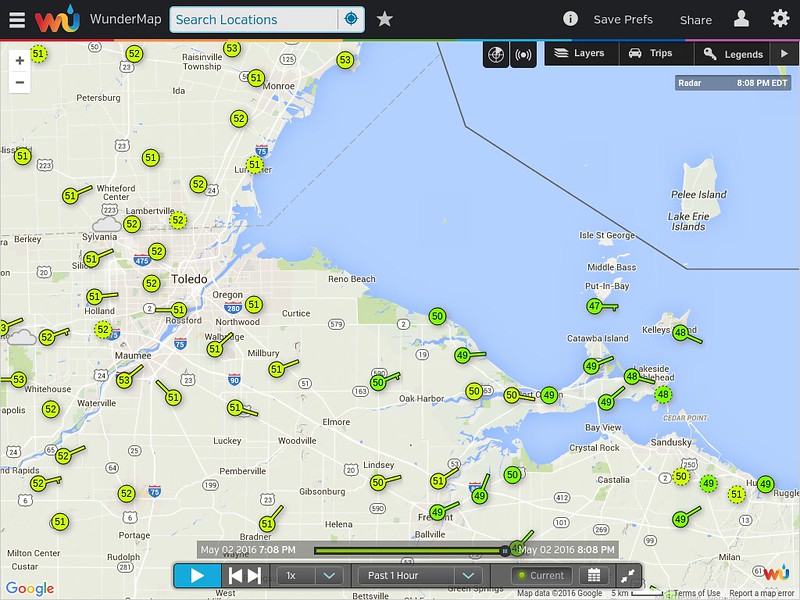
May 2, 2016 7:52 pm
Weather : Overcast
Temperature : 51 F
Humidity : 80%
Wind Speed : ENE 7 mph
Barometer : 29.99 in
Dewpoint: 45 F
Visibility : 10.00 statute miles
From JR's : articles
1120 words - 6507 chars
- 6 min read
created on
updated on
- #
source
- versions
Related articles
Severe weather threat for Sun, Nov 17, 2013 - Nov 18, 2013
Nov 17, 2013 Toledo area weather notes - Mar 03, 2014
Posts related to Nov 17, 2013 severe weather - Nov 21, 2013
Toledo area weather for early December 2013 - Dec 05, 2013
Mon, Dec 9, 2013 winter storm forecast for Sat, Dec 14 - Dec 14, 2013
more >>